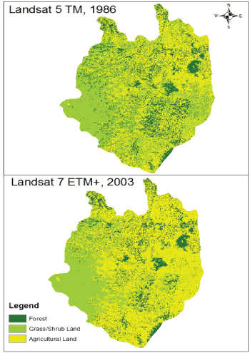
Figure 6:
Land use cover map for the year 1986 (upper) and 2003 (lower) for the Melka Kuntrie subbasin derived from Landsat images.