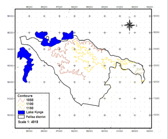
Figure 7:
Visualisation of top model topographical contour map of Pallisa District (source: Arc GIS v3.2a, MoLHUD, Department of Land and Surveys (DSL), 2011).