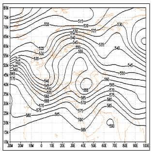
Figure 10:
Geo-potential elevation map at level 500 HPa in the representative day of pattern