 Spanish
  Chinese
  Russian
  German
  French
  Japanese
  Portuguese
  Hindi
Hindi Our Group organises 3000+ Global Conferenceseries Events every year across USA, Europe & Asia with support from 1000 more scientific Societies and Publishes 700+ Open Access Journals which contains over 50000 eminent personalities, reputed scientists as editorial board members.
Open Access Journals gaining more Readers and Citations
700 Journals and 15,000,000 Readers Each Journal is getting 25,000+ Readers
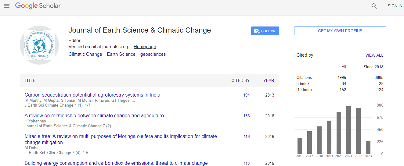
Google Scholar citation report
Citations : 7873
Journal of Earth Science & Climatic Change received 7873 citations as per Google Scholar report
Journal of Earth Science & Climatic Change peer review process verified at publons

Indexed In
- CAS Source Index (CASSI)
- Index Copernicus
- Google Scholar
- Sherpa Romeo
- Online Access to Research in the Environment (OARE)
- Open J Gate
- Genamics JournalSeek
- JournalTOCs
- Ulrich's Periodicals Directory
- Access to Global Online Research in Agriculture (AGORA)
- Centre for Agriculture and Biosciences International (CABI)
- RefSeek
- Hamdard University
- EBSCO A-Z
- OCLC- WorldCat
- Proquest Summons
- SWB online catalog
- Publons
- Euro Pub
- ICMJE
Useful Links
Recommended Journals
Related Subjects
Share This Page
In Association with

Abushandi E
Biography
Dr. Abushandi E, currently working in the Department of civil Engineering, University of Tabuk, Kingdom of Saudi Arabia. Hes has done Ph.D. In Hydrology, Technical University of Freiberg, Germany, 2011.â M.Sc. in International Ecosystem Information Technology and Geomatics, University of Applied Sciences Eberswalde, Karlsruhe University of Applied Sciences, Germany, 2007. B.Sc. in Environmental Engineering, Jordan University of Science and Technology, Jordan, 2003.â Hes Research interest in Remote Sensing, Geographic information System, Environmental Impact Assessment.
Publications
Decision makers need cost-effective methods for accurately depicting land surface characteristics as basic tools for locating construction project. ASTER Global Digital Elevation Model V002 with 30 m resolution was used to extract information on terrain surface and drainage network at the micro-catchment level. ASTER data was compared with 39 refer... Read More»
Alatawi S and Abushandi E
Research Article: J Earth Sci Clim Change 2015, 6: 257
DOI: 10.4172/2157-7617.1000257
Abstract Peer-reviewed Full Article Peer-reviewed Article PDF Mobile Full Article
Global Speakers in the subject
Global Experts in the subject
Relevant Topics
Peer Reviewed Journals
Make the best use of Scientific Research and information from our 700 + peer reviewed, Open Access Journals