Our Group organises 3000+ Global Conferenceseries Events every year across USA, Europe & Asia with support from 1000 more scientific Societies and Publishes 700+ Open Access Journals which contains over 50000 eminent personalities, reputed scientists as editorial board members.

Open Access Journals gaining more Readers and Citations
700 Journals and 15,000,000 Readers Each Journal is getting 25,000+ Readers

This Readership is 10 times more when compared to other Subscription Journals (Source: Google Analytics)
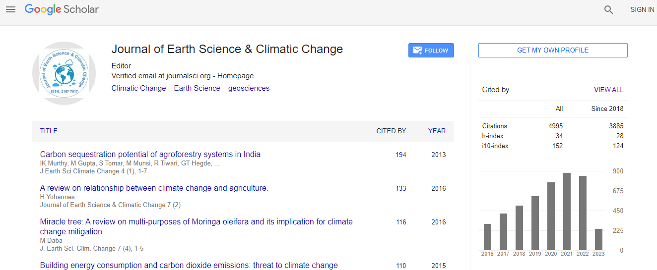
Google Scholar citation report
Citations : 5125

Journal of Earth Science & Climatic Change received 5125 citations as per Google Scholar report

Journal of Earth Science & Climatic Change peer review process verified at publons
Indexed In
  • CAS Source Index (CASSI)
  • Index Copernicus
  • Google Scholar
  • Sherpa Romeo
  • Online Access to Research in the Environment (OARE)
  • Open J Gate
  • Genamics JournalSeek
  • JournalTOCs
  • Ulrich's Periodicals Directory
  • Access to Global Online Research in Agriculture (AGORA)
  • Centre for Agriculture and Biosciences International (CABI)
  • RefSeek
  • Hamdard University
  • EBSCO A-Z
  • OCLC- WorldCat
  • Proquest Summons
  • SWB online catalog
  • Publons
  • Euro Pub
  • ICMJE
Share This Page

A case study of co-seismically generated landslide at Hattian Bala, Kashmir, Northern Pakistan

2nd International Conference on Earth Science & Climate Change

Ijaz Ahmad, Adnan Alam Awan, Sardar Saeed Akhter, Simon Sadiq, Mohammad Latif, Sajjad Karamat, Naseer Mugha, Muhammed Qaiser Khan, Anette lisy and Nasrullah Dasti

Accepted Abstracts: J Earth Sci Climate Change

DOI: 10.4172/2157-7617.S1.011

Abstract
K ashmir earthquake having magnitude of 7.6 dismantled the areas of Kashmir and KPK (formerly known as NWFP) in Northern Pakistan. Thousands of landslides were generated within few seconds. This prominent wedge-shaped rock failure is also the part of that devastating event. Here the study focuses the fault-related co-seismically generated landslide especially the Hattian Bala Landslide to investigate the causes of coseismic-failure and post-failure impact of geohazard of potential risk. This landslide failure was subjected to develop in the hanging wall of Bagh-Balakot thrust fault, which strikes NW-SE and separates the Kamlial Formation from the Murree Formation (Early Miocene). The latter is composed of red sandstone, siltstone and claystone, and it was in this formation that the present landslide occurred on Dana Hill. For this study, geological and hydrogeological maps, and topographical maps of scale 1:50,000 and satellite images like pre- and post-earthquake were used to assess and evaluate the causes and conditions of failure. Rainfall and tectonic deformation are considered as forcing agents to develop a progressive shear surface whereas earthquake generated stresses are the final forces to push the rock-mass over critical threshold. Field observation displays that the failure is asymmetric in its geometry and the wedge is steeper rather than gentler. This asymmetric wedge failure was initiated on Dana Hill (34�09 N/73�43 E, altitude 2,080 m) and the rock mass moved approximately eastwards. Surface rupture studies implicate that this wedge failure is controlled by Bagh-Balakot Fault which is a splay of Main Boundary Thrust (MBT). At the crown, Dana Hill is completely shattered, laterally spread and crisscrossed by cracks, slumps and slides, with the cracks striking mostly perpendicular to the synclines and anticlines, i.e. NNW-SSE. These factors are also considered to be responsible to accelerate the failure. It is concluded that this rock-mass, after failure, had created a potential threat in the downstream forming a dam on two streams. In the case of sudden dam breach, downstream area could come under threat due to flood. In the next monsoon season, this dam was breached slowly and proved a little damage on the way to downstream. Nevertheless, in the upstream areas, there a number of new landslides generated due to sudden drop of hydrostatic stress of reservoir causing damage to property and infrastructure. This risk-based geohazard in the form of Hattian Bala landslide can also be a precursor for future risks along the Bagh-Balakot fault. This study integrates the tectonic and engineering geological data to assess, evaluate geohazard by evaluating the failure causes and predict the georisks along the Bagh-Balakot Fault so that potential georisks can be mitigated
Biography
Relevant Topics
Top