Our Group organises 3000+ Global Conferenceseries Events every year across USA, Europe & Asia with support from 1000 more scientific Societies and Publishes 700+ Open Access Journals which contains over 50000 eminent personalities, reputed scientists as editorial board members.

Open Access Journals gaining more Readers and Citations
700 Journals and 15,000,000 Readers Each Journal is getting 25,000+ Readers

This Readership is 10 times more when compared to other Subscription Journals (Source: Google Analytics)
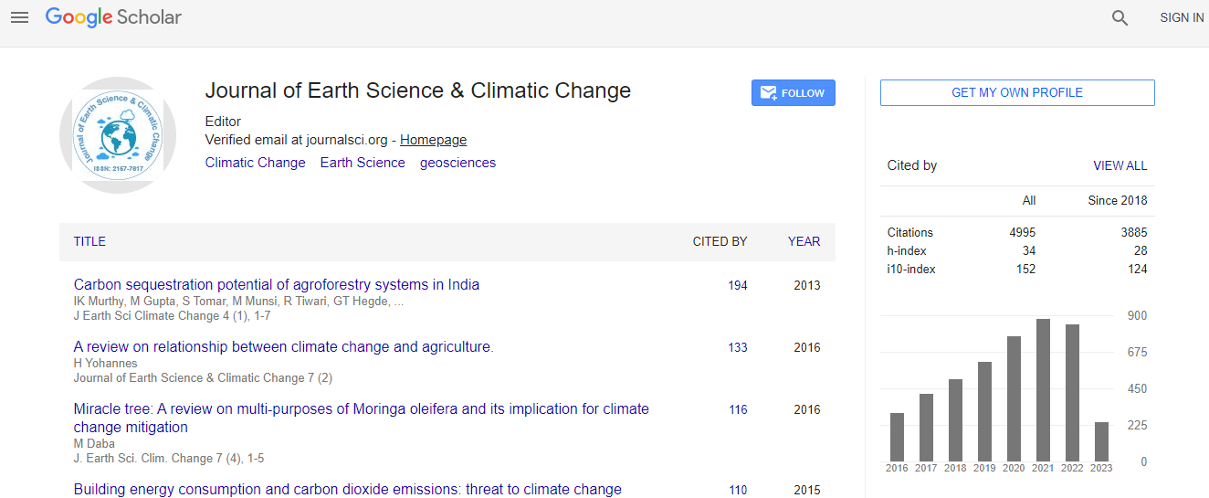
Google Scholar citation report
Citations : 5125

Journal of Earth Science & Climatic Change received 5125 citations as per Google Scholar report

Journal of Earth Science & Climatic Change peer review process verified at publons
Indexed In
  • CAS Source Index (CASSI)
  • Index Copernicus
  • Google Scholar
  • Sherpa Romeo
  • Online Access to Research in the Environment (OARE)
  • Open J Gate
  • Genamics JournalSeek
  • JournalTOCs
  • Ulrich's Periodicals Directory
  • Access to Global Online Research in Agriculture (AGORA)
  • Centre for Agriculture and Biosciences International (CABI)
  • RefSeek
  • Hamdard University
  • EBSCO A-Z
  • OCLC- WorldCat
  • Proquest Summons
  • SWB online catalog
  • Publons
  • Euro Pub
  • ICMJE
Share This Page

Application of remote sensing and GIS in hazard assessment of glacial lakes outburst floods in Himalayan region of Himachal Pradesh, India

2nd International Conference on Earth Science & Climate Change

Rajeshwar Singh Banshtu and Chander Prakash

Accepted Abstracts: J Earth Sci Climate Change

DOI: 10.4172/2157-7617.S1.011

Abstract
ountain glaciers interact sensitively with climate and therefore they are considered as climate indicators. The climate change of the 20 th century has had a pronounced effect on glacier environments of the Himalayas. Warmer climates of the past 100 to 150 years have resulted in widespread glacial retreat and the formation of glacial lakes in many mountain ranges.The formation of moraine dammed glacial lakes at the snout of the glacier and outburst floods from such lakes are a major concern in countries such as Bhutan, Tibet (China), India, Nepal and Pakistan. These glacial lake outburst floods (GLOF,) can cause extremely high water discharges as well as large mudflow events. Triggering events for an outburst can be moraine failures induced by an earthquake, by the degradation of permafrost and increased water pressure, or falling of a rock, snow, or ice avalanche into the lake causing a flood wave with a subsequent outburst. The instantaneous discharge of water from such lakes can cause flash floods, enough to create enormous damage in the downstream areas. The hazardous lakes, however, are situated in remote areas and are very difficult to monitor through ground surveys due to the rugged terrain and extreme climatic conditions. Therefore, remote sensing data and GIS are ideal tools for studying and monitoring glacial lakes and assessing their hazard potential. GIS is capable of integrating and aggregating the data acquired from different sources i.e. topographic maps, satellite data, published reports etc. Glacial lakes are identified and mapped from the satellite data using image processing tools. The glacial lakes and surrounding characteristics such as slope, geology, geomorphology, etc. are used to identify the potentially dangerous glacial lakes. A comprehensive approach by coupling of remote sensing, geomorphometric analyses aided with GIS modelling for the identification of potentially dangerous and hazard assessment is used for the present study of glacial lakes in Himachal Pradesh
Biography
Relevant Topics
Top