Our Group organises 3000+ Global Conferenceseries Events every year across USA, Europe & Asia with support from 1000 more scientific Societies and Publishes 700+ Open Access Journals which contains over 50000 eminent personalities, reputed scientists as editorial board members.

Open Access Journals gaining more Readers and Citations
700 Journals and 15,000,000 Readers Each Journal is getting 25,000+ Readers

This Readership is 10 times more when compared to other Subscription Journals (Source: Google Analytics)
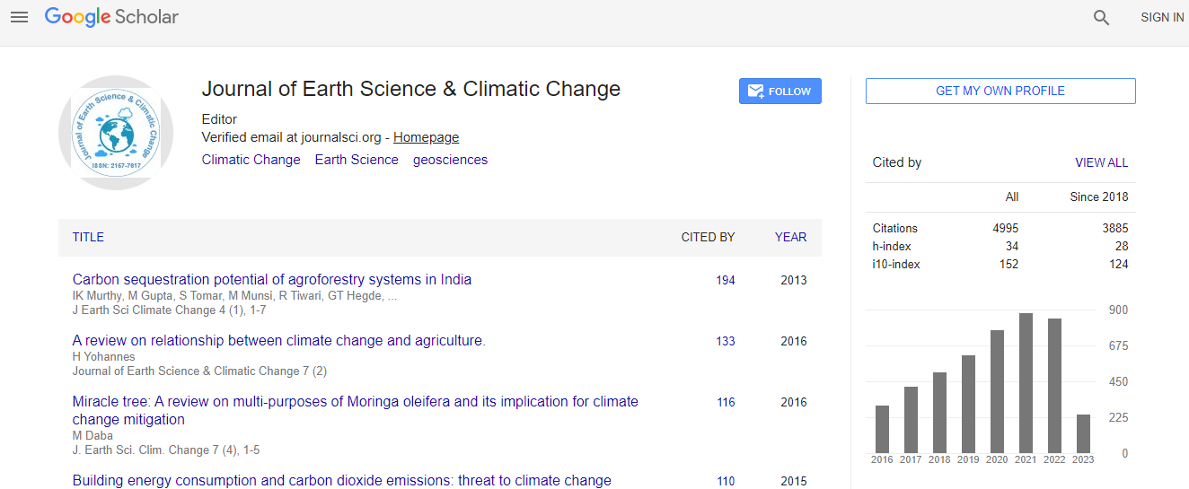
Google Scholar citation report
Citations : 5125

Journal of Earth Science & Climatic Change received 5125 citations as per Google Scholar report

Journal of Earth Science & Climatic Change peer review process verified at publons
Indexed In
  • CAS Source Index (CASSI)
  • Index Copernicus
  • Google Scholar
  • Sherpa Romeo
  • Online Access to Research in the Environment (OARE)
  • Open J Gate
  • Genamics JournalSeek
  • JournalTOCs
  • Ulrich's Periodicals Directory
  • Access to Global Online Research in Agriculture (AGORA)
  • Centre for Agriculture and Biosciences International (CABI)
  • RefSeek
  • Hamdard University
  • EBSCO A-Z
  • OCLC- WorldCat
  • Proquest Summons
  • SWB online catalog
  • Publons
  • Euro Pub
  • ICMJE
Share This Page

Determination of spatial erosion risk distribution for management and planning in Yeka Ankorucha catchment using ?RUSLE? model, GIS and RS, Addis Ababa, Ethiopia

3rd International Conference on Earth Science & Climate Change

Zebene Worku Woldegeorgis

Accepted Abstracts: J Earth Sci Clim Change

DOI: 10.4172/2157-7617.S1.016

Abstract
The use of RS and GIS techniques integrating with RUSLE makes soil erosion estimation and its spatial distribution feasible with reasonable costs and better accuracy in larger area. Such methods provide significantly better results than using traditional methods of measuring and calculating Erosion related biophysical data on the field. Human activities such as urbanization and industrialization and the respective land use change within a basin is one of the contributing factors, which cause deterioration of river water quality through its potential effect on erosion. Sediment yield in the form of suspended solid in the river water body, which is transported to the downstream area, occurs as a sign of lowering of the water quality. Hence, the aim of this study was to determine potential soil loss using the Revised Universal Soil Loss Equation (RUSLE) model in Geographical Information Systems (GIS) environment within selected catchment of Awash River Basin. RUSLE was used to estimate potential soil losses by utilizing information on rainfall erosivity (R) using interpolation of rainfall data, soil erodibility (K) using soil map, vegetation cover (C) using satellite images, topography (LS) using DEM and conservation practices (P) using data collected by GPS for the conservation actions made in the area .The results indicated that the rate of potential soil loss in Yeka Ankorucha catchment, Ethiopia ranged from very low to sever. The area covered by low to moderate potential soil loss was about 51%, whereas moderate to soil loss potential covered about 49% of the study area.
Biography
Zebene Worku Weldegeorgis specialized in Environmental Management and Natural Resource Conservation. He is a designer and manager of various environmental projects and programs at national levels in Ethiopia. He has much experience in environmental development and conservation-project planning and the application of the Ethiopia Government Environmental policy, strategy and programs. His soil and water engineering and management background and interests in software, together with a great deal of initiation have left him confident in researching and finding new ways, techniques, approaches and solutions for various ecological balance disorders and biodiversity losses in specific and environmental management in general.
Relevant Topics
Top