ISSN: 2155-9910

Journal of Marine Science: Research & Development
Open Access

Our Group organises 3000+ Global Conferenceseries Events every year across USA, Europe & Asia with support from 1000 more scientific Societies and Publishes 700+ Open Access Journals which contains over 50000 eminent personalities, reputed scientists as editorial board members.

Open Access Journals gaining more Readers and Citations
700 Journals and 15,000,000 Readers Each Journal is getting 25,000+ Readers

This Readership is 10 times more when compared to other Subscription Journals (Source: Google Analytics)
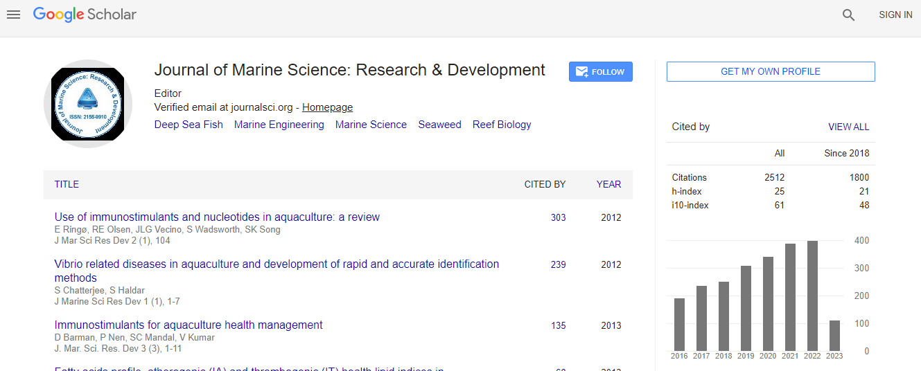
Google Scholar citation report
Citations : 2494

Journal of Marine Science: Research & Development received 2494 citations as per Google Scholar report

Indexed In
  • CAS Source Index (CASSI)
  • Index Copernicus
  • Google Scholar
  • Sherpa Romeo
  • Open J Gate
  • Genamics JournalSeek
  • Academic Keys
  • ResearchBible
  • Ulrich's Periodicals Directory
  • Electronic Journals Library
  • RefSeek
  • Directory of Research Journal Indexing (DRJI)
  • Hamdard University
  • EBSCO A-Z
  • OCLC- WorldCat
  • Scholarsteer
  • SWB online catalog
  • Virtual Library of Biology (vifabio)
  • Publons
Share This Page

Does excahnge of Bay of Bengal and Indian ocean occur around Dhanushkodi, Rameswaram, India

International Conference on Oceanography & Natural Disasters

Usha Natesan

Accepted Abstracts: J Marine Sci Res Dev

DOI: 10.4172/2155-9910.S1.004

Abstract
Rameswaram Island, Southeast of India is bordered by both the Gulf of Mannar and Palk Bay on the southern and the northern sides respectively, is unique in nature and subjected to differential season changes prevailing on both sides. The extreme southeastern part of Rameswaram Island, known as Dhanushkodi Foreland, a long sand spit of about 20 km length is formed up to Arimunai and it tends to grow longer and wider. The southern side of erstwhile Dhanushkodi township facing the Gulf of Mannar underwent severe erosion and subsidence between AD February 1948, January 1949 and particularly the cyclone of AD 1964. Consequently, the southern part of the township comprising places of worship, residential areas, roads, etc. over a width of ~ 500 m along the N-S direction and a stretch of 7 km along WNW-ESE direction was destroyed by wave attack and submerged to the depth of 5 m. Continuous observation of water quality, sea bed and beach sediments, beach profile and shoreline studies combined with coastal hydrodynamic modeling reveal the underlying process taking place. This unveiling of fact shall help the policy makers to solve the issues related to Sethusamudram Shipping Canal project.
Biography
Usha Natesan, is a Civil Engineer with specialization in coastal engineering and Remote Sensing. She is presently serving as Professor of Civil Engineering and also as the Director, Centre for Research, Anna University, Chennai. She is an active researcher handling several sponsored research projects and twelve scholars have been awarded Ph.D. degree under her mentorship. She has 82 journal publications to her credit. She is serving as a Advisory Board member and reviewer for SCI National and International journals. She had been the recipient of the Tamil Nadu Young Women Scientist Award - 2002 instituted by Government of Tamil Nadu and Faculty awards for Active Researcher for 2012 instituted by Anna University, Chennai. She delivered invited talks in her specialization in several Conferences and Universities both in India and abroad.
Relevant Topics
Top